|
|

Overview |

|

|

|

|
|
Overview |
|
|

|
|
|
|
Overview |
|
|
|
|
|
Overview |
|
|
|
|
|
|
||
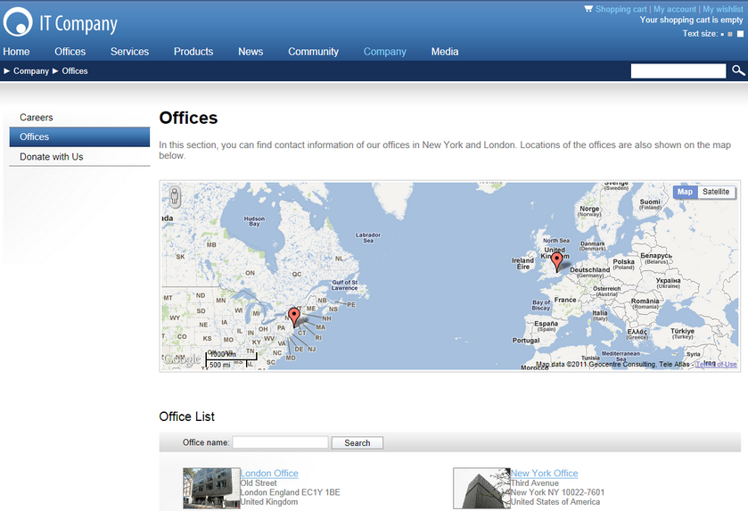
The Geo mapping module allows you to display maps on your site. You can display also content on these maps.
The module has no administration interface and consists only of nine web parts and three widgets derived from the static group of these web parts. The web parts and widgets can be found under the Maps category in the web part and widget selection dialogs.
You can see the web parts configured and working on the sample Corporate Site, under the /Examples/Webparts/Maps node of the content tree.
The module can be used for many scenarios in which a geographical position is the key information:
•show your offices
•show your stores
•show your partners
•show real estates you offer
•etc.
You can use it to display virtually any content that has a location. The only requirement is that you tag your content with longitude and latitude.
You can use an on-line service that allows you to enter the country, city and street and shows you the respective longitude and latitude. One such service is available for example at http://world.maporama.com.
You can choose from the following map providers:
•Bing Maps (originally Live Maps)
Each of these providers has its dedicated web parts and a widget. Please click the particular map provider to learn more.